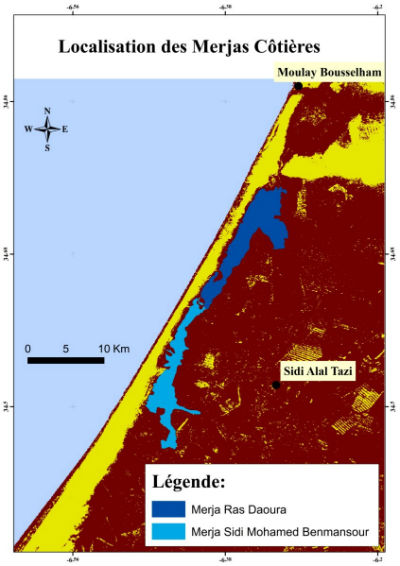
 Location of the coastal merjas of the Gharb plain (© Choukrani, 2018)
The development of the Gharb plain began at the beginning of the last century. In 1917, the engineer of Public Works Séjournet undertook sanitation works to dry up several wetlands (merjas) in order to alleviate catastrophic floods, and irrigation to produce in times of drought on these fertile swampy lands.
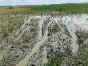 Merjas soil encroachments (© Choukrani, 2018)
Subsequently, the Sebou project contributed to the agricultural development of the Gharb plain through the construction of a system of flood protection dikes, dams regulating flows, and drainage for the sanitation of irrigated lands. However, floods continue to damage large areas of agricultural land and endanger human lives, as witnessed by the 100-year flood of 2010.
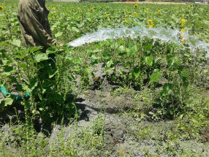 Gravity irrigation of sunflower in merjas (© Choukrani, 2018)
This flooding revealed the dual role of merjas: a protective role of farming and urban areas during floods through their ability to regulate water level variations, and a productive role when they are cropped by local populations or grazed as pasture after floodwater recedes.
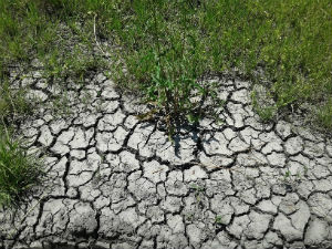 Removal of Merja soils (© Choukrani, 2018)
This work aims to answer three main questions:
- What are the ecosystem services provided by the merjas in the Gharb Plain?
- What are the hydraulic and agricultural links and interactions between these merjas and all the components of their environment (the hydrographic network, the sanitation and drainage network, the groundwater table, the hydroagricultural zones developed (e. g. dune ranges, inland dunes, etc.))?
- To what extent could the development of merjas adapt to their very nature (e.g. "nature-based solution") and to the context of the Gharb plain subject to global change (i.e. climate, demographic, economic)?
 |
 |
|
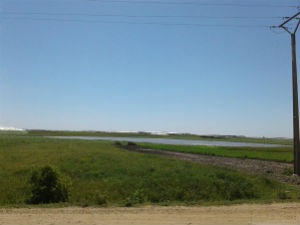
Merja Ras Daoura (coastal merja) - (© Choukrani, 2018)
|
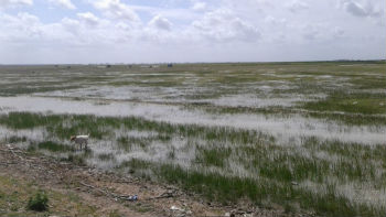
Merja Sidi Mohammed Benmansour (coastal merja) - (© Choukrani, 2018)
|
Key words: Merja, floodplains, wetlands, ecosystem services, Nature-based solutions, ecological engineering


