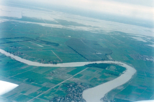
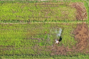
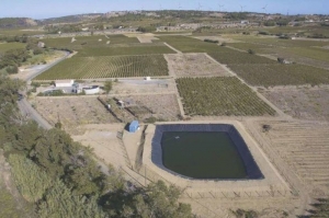
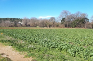
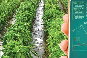
Several wetlands in this plain are multifunctional: they reduce flood damage by buffering water level variations; they provide summer pasture and sustain biodiversity. This project aims at sustainably enhancing the multi-functionalities of these wetlands for the benefit of farmers and the environment, based on natural solutions. The project includes five work packages: i/ understanding the vulnerability and functionalities of the wetlands; ii/ characterizing surface and subsurface hydrology of the flood plains and their hydraulic infrastructures; iii/ identifying socio-economic and environmental trade-offs between proposed green and grey infrastructures; iv/ conducting territorial consultations, and v/ monitoring and cross-capitalization by combining research results from the COSTEA projects of the structuring action "Flood zones" in Cambodia and Ecuador.
Plaine côtière du Gharb au Maroc
© G. Lacombe, Cirad
COSTEA Flood zones : Managing green and grey infrastructures in the agricultural flood plain of Gharb, in the context of global change
The flood plain of Gharb in Northwest Morocco, subject to droughts, floods and saline intrusions, started its agricultural development in 1920 with the construction of irrigation and drainage networks. However, recurrent floods keep reducing crop yields due to the topography of the plain with limited capacity to drain floodwater to the ocean.
Tagged under

